Area description
The physical and geographical region of the Poleski National Park
Province: East Baltic and Belarus Lowland sub-province: Polesie, macro-region: West Polesie, meso-region: Łęczna-Włodawa Plain, at the meeting point with Garb Włodawski and Pagóry Chełmskie (macro-region: Polesie Wołyńskie).
Phytogeographical region
Province: Lowland-Upland, Central Europe, Division: Baltic, Sub-division: Great Valley Belt, Country: Polesie Lubelskie.
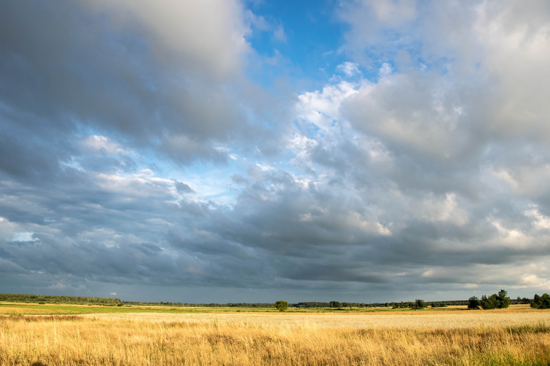
Climate
The climatic conditions of Leczynsko-Wlodawskie Lake District, now also of the Poleski National Park, even though similar to the conditions of Lublin Polesie, are classified into the group of Great Valleys climate; they, however, stand out as they possess an exceptional number of continental features, as for example a long summer—105 days and winter—110 days, a short spring and autumn—frequently less than 50 days. An average amount of annual precipitation just insignificantly prevails over the strong evaporation, which causes the region to be underprivileged in terms of possibilities to renew aquatic resources. Maritime polar air masses predominate, mostly transformed, during the year. The actual insolation value exceeds the national average and amounts to an average of 4.6 hr. The average perennial air temperature is 7.3oC. The amplitude of the annual and multi-annual temperatures is significant. The lowest temperature in the last fifty years was -34.2oC (January 1987), the highest was +36.2oC (July 1959). Precipitation is distinguished by a very big spatial and time changeability, significantly diverging from the multi-annual average of Leczynsko-Wlodawskie Lake District, amounting to 562 mm. During the dry years, this value can fall below 400 mm, and during the wet years exceed 850 mm. The predominant amount of precipitation falls in summer (around 40%), and winter is the period of poor precipitation, and this is why the blanket of snow reaches an average thickness of only 12 cm. The last meteorological measurements suggest changes in the climatic phase over several years, since 1997, when a relatively high annual precipitation has been observed on the area of Western Polesie.
Geology and the lie of the land
Leczynsko-Wlodawskie Lake District owes its lie of the land to glacial activity and post-glacial waters. There was, on this terrain, a post-glacial stagnant after the retreat of the last glacial period. The slow outflow of waters, resulting from the flatness of the terrain, contributes to the creation of numerous moorlands and water reservoirs, frequently of an astatic character and variable surface.
The area of PNP consists of a few flat basins surrounded by small rises of the land. The majority of the Park and its protection zone are vast denudative and accumulative plains, especially of organic accumulation (moor plains). There are among them numerous water reservoirs with varying degrees of overgrowing of organic material. They were cut by the valleys of two rivers: The Piwonia and The Wlodawka. Flat plain areas are varied by the distinct elevations of different height. These are protuberances and local chalk rises covered with a thin layer of sand. Moreover, there exists a number of small, a few dozen or so ares, which are not much bigger from the surrounding hills, scattered all over the Park, called by the locals “grądziki”. Those elevations, located in the central part of the Park, on the north- south axis, are a natural watershed between the Piwonia and the Wlodawka rivers. The area of the Park is characterised by the small differences of the average relative height. The highest point is the slope of “Pikolowa Gora" in the south-eastern part of the Park on the border of the Leczynsko-Wlodawska Plain and Pagory Chelmskie with its height slightly above 200 m.a.s.l. The lowest point is located next to the outflow of the Wlodawka River from the Park terrain, around 167 m.a.s.l.
Soils
The total area covered by the soils in Poleski NP is 8,279 ha altogether (total area of the Park diminished by waters, roads etc.). Woodlands constitute 4,204 ha, farmlands constitute 1,732 ha; of this fields: 287 ha, and permanent grasslands (meadows and pasturelands altogether): 1,445 ha. The area of 2,343 ha is covered by "wastelands", those are above all woodless moorlands- one of the most precious naturally ecosystems.
In the covered area, the biggest parts are soils the genesis of which are connected with the water or marshy environment (hydrogenic). Those are the marshy soils of the low, high and transitory marshlands (altogether they occupy 2/3 of the area), as well as chernozemic, muck and gleyic soils. Among the soils formed on the mineral base: podzols and brown earth, and also rendzina should be mentioned
Despite the natural factors (climate, geological structure and the lie of the land), influencing clearly on the water relations in case of the Poleski Park and its protection zone, human activity has also had an essential influence. In the Park area there is a vast variety and abundance of superficial water phenomena: starting with lakes, through ponds, rivers, trenches, peat bogs and sinkholes. The flatness of the land and weak permeability of mudstone and clay-stone commonly occurring under the thin layer of sands, largely influences a big density of the water net. However, the vast abundance of the surface water phenomena does not go hand in hand with the general wealth of water of the region, caused by little precipitation and the already mentioned human activity. The changes in water relations occurred on a bigger scale after the building of the Wieprz-Krzna Channel. The created drainage system contributed to a lowering of the surface and underground waters speculum. Moreover, significant changes in the quality and quantity parameters of the waters in the area of the present Poleski NP occurred.